
Lytten topographic map
Interactive map
Click on the map to display elevation.
About this map
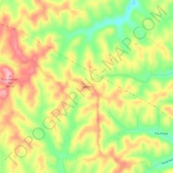
Name: Lytten topographic map, elevation, terrain.
Location: Lytten, Elliott County, Kentucky, United States (38.08453 -83.24101 38.12453 -83.20101)
Average elevation: 1,040 ft
Minimum elevation: 817 ft
Maximum elevation: 1,234 ft
Kentucky trails, hiking, mountain biking, running and outdoor activities