
Van Lear topographic map
Interactive map
Click on the map to display elevation.
About this map
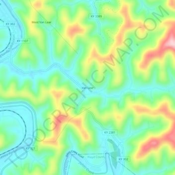
Name: Van Lear topographic map, elevation, terrain.
Location: Van Lear, Johnson County, Kentucky, 41265, United States (37.75121 -82.77794 37.79121 -82.73794)
Average elevation: 837 ft
Minimum elevation: 581 ft
Maximum elevation: 1,352 ft
Kentucky trails, hiking, mountain biking, running and outdoor activities