
Debord topographic map
Interactive map
Click on the map to display elevation.
About this map
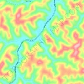
Name: Debord topographic map, elevation, terrain.
Location: Debord, Martin County, Kentucky, 41214, United States (37.80648 -82.57126 37.84648 -82.53126)
Average elevation: 902 ft
Minimum elevation: 627 ft
Maximum elevation: 1,214 ft
Kentucky trails, hiking, mountain biking, running and outdoor activities