
Flat Fork topographic map
Interactive map
Click on the map to display elevation.
About this map
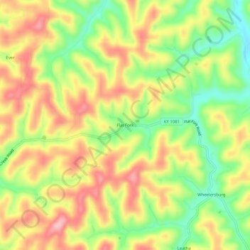
Name: Flat Fork topographic map, elevation, terrain.
Location: Flat Fork, Magoffin County, Kentucky, United States (37.81787 -83.04850 37.85787 -83.00850)
Average elevation: 1,050 ft
Minimum elevation: 778 ft
Maximum elevation: 1,299 ft
Kentucky trails, hiking, mountain biking, running and outdoor activities