
Shelbiana topographic map
Interactive map
Click on the map to display elevation.
About this map
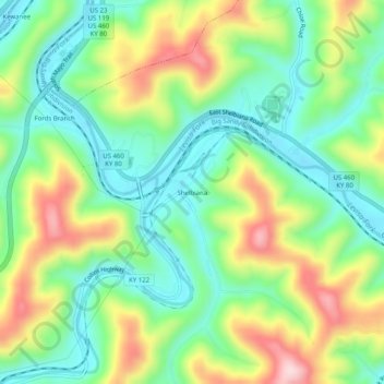
Name: Shelbiana topographic map, elevation, terrain.
Location: Shelbiana, Pike County, Kentucky, 41526, United States (37.40538 -82.51293 37.44538 -82.47293)
Average elevation: 1,001 ft
Minimum elevation: 643 ft
Maximum elevation: 1,617 ft
Kentucky trails, hiking, mountain biking, running and outdoor activities