
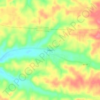
Stewart topographic map
Interactive map
Click on the map to display elevation.
About this map
Name: Stewart topographic map, elevation, terrain.
Location: Stewart, Houston County, Tennessee, 37175, United States (36.30061 -87.86141 36.34061 -87.82141)
Average elevation: 584 ft
Minimum elevation: 440 ft
Maximum elevation: 719 ft
Houston County trails, hiking, mountain biking, running and outdoor activities