
Sint-Denijs-Boekel topographic map
Interactive map
Click on the map to display elevation.
About this map
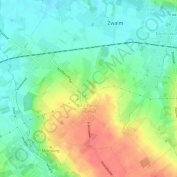
Name: Sint-Denijs-Boekel topographic map, elevation, terrain.
Location: Sint-Denijs-Boekel, Zwalm, Oudenaarde, East Flanders, Belgium (50.85480 3.69264 50.88299 3.73507)
Average elevation: 115 ft
Minimum elevation: 36 ft
Maximum elevation: 236 ft