
Lake Vermillion-Soudan Underground Mine State Park topographic map
Interactive map
Click on the map to display elevation.
About this map
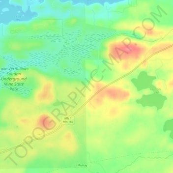
Name: Lake Vermillion-Soudan Underground Mine State Park topographic map, elevation, terrain.
Average elevation: 1,463 ft
Minimum elevation: 1,352 ft
Maximum elevation: 1,598 ft
Minnesota trails, hiking, mountain biking, running and outdoor activities