
Bourne topographic map
Interactive map
Click on the map to display elevation.
About this map
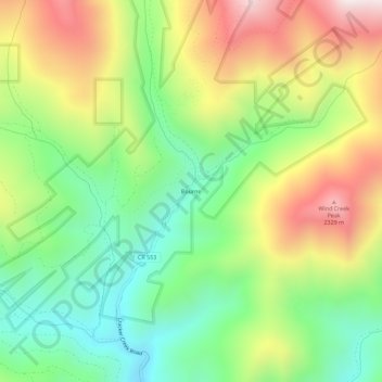
Name: Bourne topographic map, elevation, terrain.
Location: Bourne, Baker County, Oregon, United States (44.80431 -118.21744 44.84431 -118.17744)
Average elevation: 6,138 ft
Minimum elevation: 4,928 ft
Maximum elevation: 7,851 ft
Oregon trails, hiking, mountain biking, running and outdoor activities