Geolocate

Munden topographic map

Click on the map to display elevation.

About this map

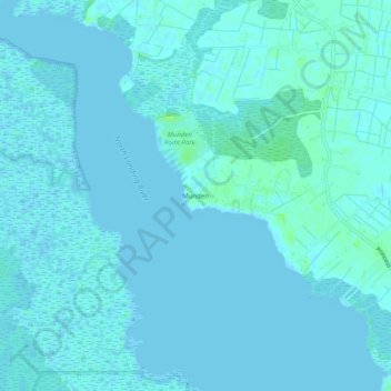
Name: Munden topographic map, elevation, terrain.

Location: Munden, Virginia Beach, Virginia, 23457, United States (36.55793 -76.05576 36.59793 -76.01576)

Average elevation: 7 ft

Minimum elevation: -7 ft

Maximum elevation: 33 ft

Virginia trails, hiking, mountain biking, running and outdoor activities

Gear up for your next adventure:

🔋Solar Power Banks - Keep your GPS and phone charged in remote wilderness areas
🪶LED Camping Lantern - Bright lantern for camp lighting
Camping Coffee Makers - Enjoy premium coffee at the summit or campsite
🎒Outdoor Daypacks - Lightweight backpacks designed for carrying maps and essential gear
📡Handheld GPS Device - Reliable handheld GPS for outdoor navigation

As an Amazon Associate, this site earns from qualifying purchases at no extra cost to you.