
Paola topographic map
Interactive map
Click on the map to display elevation.
About this map
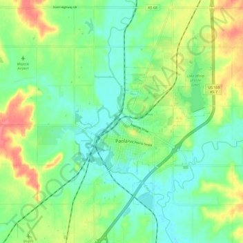
Name: Paola topographic map, elevation, terrain.
Location: Paola, Miami County, Kansas, 66071, United States (38.53475 -94.89359 38.62406 -94.83464)
Average elevation: 919 ft
Minimum elevation: 837 ft
Maximum elevation: 1,070 ft