
Pioneer topographic map
Interactive map
Click on the map to display elevation.
About this map
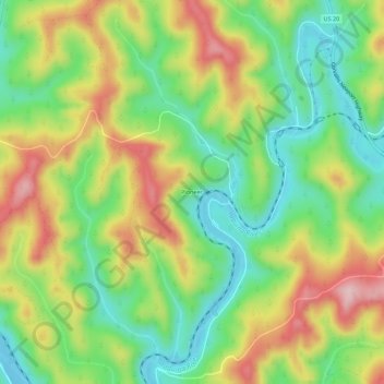
Name: Pioneer topographic map, elevation, terrain.
Location: Pioneer, Lincoln County, Oregon, United States (44.62790 -123.89011 44.66790 -123.85011)
Average elevation: 344 ft
Minimum elevation: -7 ft
Maximum elevation: 807 ft
Oregon trails, hiking, mountain biking, running and outdoor activities