
Baileyton topographic map
Interactive map
Click on the map to display elevation.
About this map
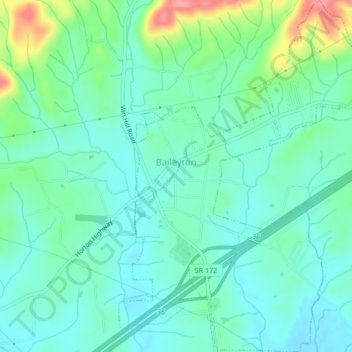
Name: Baileyton topographic map, elevation, terrain.
Location: Baileyton, Greene County, Tennessee, United States (36.31596 -82.84368 36.34980 -82.81333)
Average elevation: 1,237 ft
Minimum elevation: 1,152 ft
Maximum elevation: 1,503 ft
Tennessee trails, hiking, mountain biking, running and outdoor activities