
Longville topographic map
Interactive map
Click on the map to display elevation.
About this map
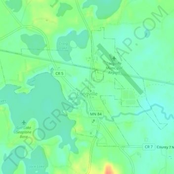
Name: Longville topographic map, elevation, terrain.
Location: Longville, Cass County, Minnesota, United States (46.97811 -94.23174 46.99663 -94.19306)
Average elevation: 1,335 ft
Minimum elevation: 1,293 ft
Maximum elevation: 1,427 ft
Minnesota trails, hiking, mountain biking, running and outdoor activities