
Motley topographic map
Interactive map
Click on the map to display elevation.
About this map
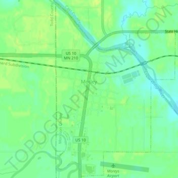
Name: Motley topographic map, elevation, terrain.
Location: Motley, Morrison County, Minnesota, United States (46.32224 -94.65340 46.34871 -94.62712)
Average elevation: 1,230 ft
Minimum elevation: 1,204 ft
Maximum elevation: 1,250 ft
Morrison County trails, hiking, mountain biking, running and outdoor activities
Other topographic maps
Click on a map to view its topography, its elevation and its terrain.