
Masonville topographic map
Interactive map
Click on the map to display elevation.
About this map
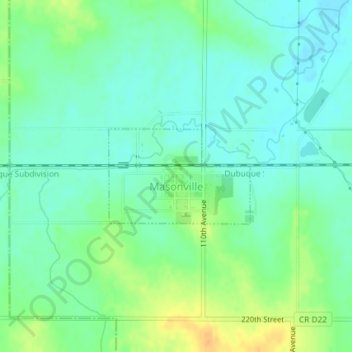
Name: Masonville topographic map, elevation, terrain.
Location: Masonville, Delaware County, Iowa, United States (42.47648 -91.59819 42.48382 -91.58345)
Average elevation: 1,014 ft
Minimum elevation: 974 ft
Maximum elevation: 1,083 ft
Delaware County trails, hiking, mountain biking, running and outdoor activities
Other topographic maps
Click on a map to view its topography, its elevation and its terrain.