
Blue River topographic map
Interactive map
Click on the map to display elevation.
About this map
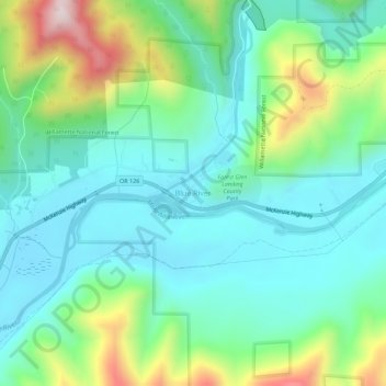
Name: Blue River topographic map, elevation, terrain.
Location: Blue River, Lane County, Oregon, 97413-9737, United States (44.13389 -122.35877 44.17389 -122.31877)
Average elevation: 1,499 ft
Minimum elevation: 984 ft
Maximum elevation: 2,949 ft
Oregon trails, hiking, mountain biking, running and outdoor activities