
Arlington topographic map
Interactive map
Click on the map to display elevation.
About this map
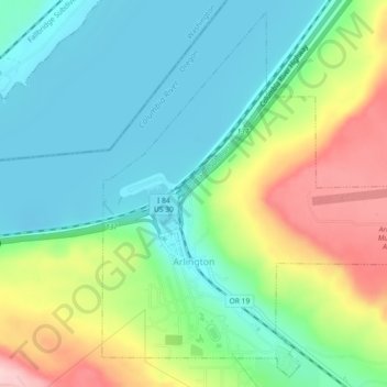
Name: Arlington topographic map, elevation, terrain.
Location: Arlington, Gilliam County, Oregon, United States (45.70736 -120.21168 45.73726 -120.16620)
Average elevation: 479 ft
Minimum elevation: 246 ft
Maximum elevation: 965 ft
Gilliam County trails, hiking, mountain biking, running and outdoor activities