
Oconee topographic map
Interactive map
Click on the map to display elevation.
About this map
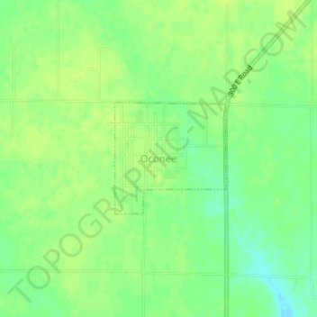
Name: Oconee topographic map, elevation, terrain.
Location: Oconee, Shelby County, Illinois, United States (39.28084 -89.11240 39.29038 -89.10013)
Average elevation: 676 ft
Minimum elevation: 640 ft
Maximum elevation: 696 ft