Geolocate

Oconee topographic map

Click on the map to display elevation.

About this map

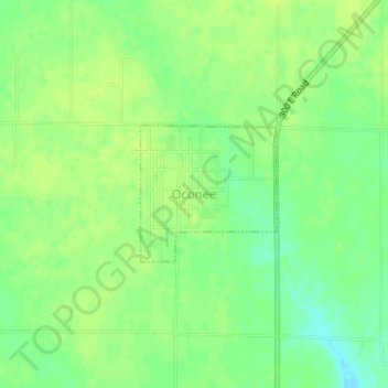
Name: Oconee topographic map, elevation, terrain.

Location: Oconee, Shelby County, Illinois, United States (39.28084 -89.11240 39.29038 -89.10013)

Average elevation: 676 ft

Minimum elevation: 640 ft

Maximum elevation: 696 ft

Shelby County trails, hiking, mountain biking, running and outdoor activities

Other topographic maps

Click on a map to view its topography, its elevation and its terrain.

Todds Point

United States > Illinois > Shelby County

Average elevation: 656 ft

Westervelt

United States > Illinois > Shelby County

Average elevation: 656 ft

Shelbyville

United States > Illinois > Shelby County > Shelbyville

Average elevation: 620 ft

Gear up for your next adventure:

📚USA Hiking Guide Books - Top trail guides and map books
GPS Sports Watch - GPS watch for running, hiking and training
🌐World Map Poster - Decorative world maps with topographic info
🔋Rechargeable Batteries - Power up your outdoor devices
👟Men's Trail Runners - Lightweight footwear for fast-paced exploration and light hiking

As an Amazon Associate, this site earns from qualifying purchases at no extra cost to you.