
Pleasant Hill topographic map
Interactive map
Click on the map to display elevation.
About this map
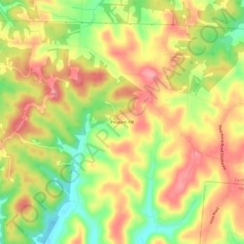
Name: Pleasant Hill topographic map, elevation, terrain.
Location: Pleasant Hill, Fairfield County, Ohio, 43155, United States (39.65145 -82.52794 39.69145 -82.48794)
Average elevation: 958 ft
Minimum elevation: 764 ft
Maximum elevation: 1,102 ft
Ohio trails, hiking, mountain biking, running and outdoor activities