
Hobbsville topographic map
Interactive map
Click on the map to display elevation.
About this map
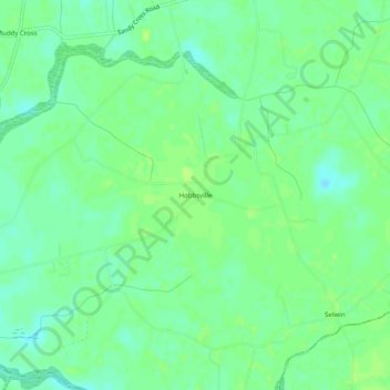
Name: Hobbsville topographic map, elevation, terrain.
Location: Hobbsville, Gates County, North Carolina, United States (36.32710 -76.62467 36.36710 -76.58467)
Average elevation: 43 ft
Minimum elevation: 20 ft
Maximum elevation: 56 ft
Gates County trails, hiking, mountain biking, running and outdoor activities