
Carlton topographic map
Interactive map
Click on the map to display elevation.
About this map
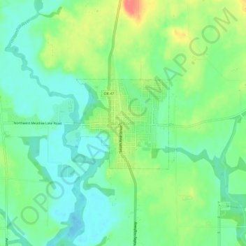
Name: Carlton topographic map, elevation, terrain.
Location: Carlton, Yamhill County, Oregon, 97111, United States (45.27428 -123.19649 45.31428 -123.15649)
Average elevation: 167 ft
Minimum elevation: 102 ft
Maximum elevation: 282 ft
Oregon trails, hiking, mountain biking, running and outdoor activities