Rongduo;Rongdo topographic map
Interactive map
Click on the map to display elevation.
About this map
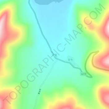
Name: Rongduo;Rongdo topographic map, elevation, terrain.
Average elevation: 16,873 ft
Minimum elevation: 16,444 ft
Maximum elevation: 17,736 ft

Click on the map to display elevation.
Name: Rongduo;Rongdo topographic map, elevation, terrain.
Average elevation: 16,873 ft
Minimum elevation: 16,444 ft
Maximum elevation: 17,736 ft