
Portage topographic map
Interactive map
Click on the map to display elevation.
About this map
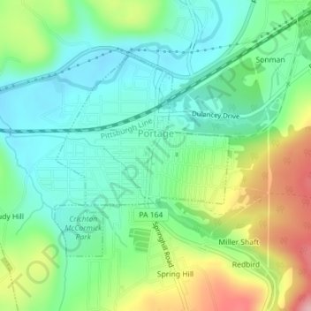
Name: Portage topographic map, elevation, terrain.
Location: Portage, Cambria County, Pennsylvania, 15946, United States (40.37798 -78.68377 40.39546 -78.66381)
Average elevation: 1,762 ft
Minimum elevation: 1,575 ft
Maximum elevation: 2,152 ft
Cambria County trails, hiking, mountain biking, running and outdoor activities
Other topographic maps
Click on a map to view its topography, its elevation and its terrain.