
Needham topographic map
Interactive map
Click on the map to display elevation.
About this map
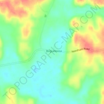
Name: Needham topographic map, elevation, terrain.
Location: Needham, Choctaw County, Alabama, United States (31.98193 -88.35011 31.99282 -88.32440)
Average elevation: 203 ft
Minimum elevation: 121 ft
Maximum elevation: 328 ft
Choctaw County trails, hiking, mountain biking, running and outdoor activities
Other topographic maps
Click on a map to view its topography, its elevation and its terrain.