
Nero topographic map
Interactive map
Click on the map to display elevation.
About this map
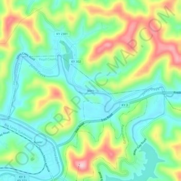
Name: Nero topographic map, elevation, terrain.
Location: Nero, Floyd County, Kentucky, 41602, United States (37.72843 -82.76349 37.76843 -82.72349)
Average elevation: 840 ft
Minimum elevation: 587 ft
Maximum elevation: 1,319 ft
Kentucky trails, hiking, mountain biking, running and outdoor activities