
Richford topographic map
Interactive map
Click on the map to display elevation.
About this map
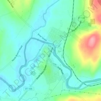
Name: Richford topographic map, elevation, terrain.
Location: Richford, Franklin County, Vermont, United States (44.98271 -72.68134 45.00780 -72.66347)
Average elevation: 515 ft
Minimum elevation: 413 ft
Maximum elevation: 804 ft
Vermont trails, hiking, mountain biking, running and outdoor activities