
Prince George topographic map
Interactive map
Click on the map to display elevation.
Prince George
Prince George is a census-designated place (CDP) in and the county seat of Prince George County, Virginia, United States. The population as of the 2010 Census was 2,066. It is in the metro area of Richmond, Virginia. The elevation is at 131 feet.
About this map
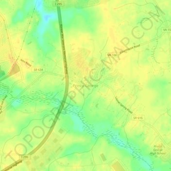
Name: Prince George topographic map, elevation, terrain.
Average elevation: 128 ft
Minimum elevation: 69 ft
Maximum elevation: 157 ft
Prince George County trails, hiking, mountain biking, running and outdoor activities