
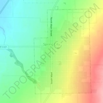
Spring City topographic map
Interactive map
Click on the map to display elevation.
About this map
Name: Spring City topographic map, elevation, terrain.
Location: Spring City, Sanpete County, Utah, 84662, United States (39.46939 -111.50203 39.49163 -111.48255)
Average elevation: 5,846 ft
Minimum elevation: 5,686 ft
Maximum elevation: 6,076 ft
Utah trails, hiking, mountain biking, running and outdoor activities