
Doyline topographic map
Interactive map
Click on the map to display elevation.
About this map
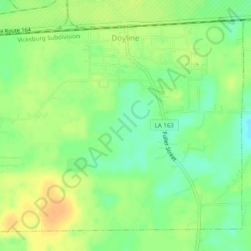
Name: Doyline topographic map, elevation, terrain.
Location: Doyline, Webster Parish, Louisiana, United States (32.51277 -93.42961 32.53782 -93.39444)
Average elevation: 217 ft
Minimum elevation: 164 ft
Maximum elevation: 269 ft
Webster Parish trails, hiking, mountain biking, running and outdoor activities
Other topographic maps
Click on a map to view its topography, its elevation and its terrain.