
Duck Creek topographic map
Interactive map
Click on the map to display elevation.
About this map
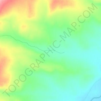
Name: Duck Creek topographic map, elevation, terrain.
Location: Duck Creek, Rich County, Utah, United States (41.79292 -111.13074 41.79432 -111.12101)
Average elevation: 6,378 ft
Minimum elevation: 6,234 ft
Maximum elevation: 6,617 ft
Rich County trails, hiking, mountain biking, running and outdoor activities
Other topographic maps
Click on a map to view its topography, its elevation and its terrain.