
Make a donation
Gear up for your next adventure:
As an Amazon Associate, this site earns from qualifying purchases at no extra cost to you.
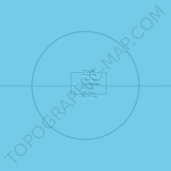
Saint Peter and Saint Paul Archipelago topographic map
Click on the map to display elevation.
Make a donation
Gear up for your next adventure:
As an Amazon Associate, this site earns from qualifying purchases at no extra cost to you.
Saint Peter and Saint Paul Archipelago
The Saint Peter and Saint Paul Rocks are situated in the Atlantic Ocean, 100 km (62 mi) north of the Equator and are the only group of Brazilian oceanic islets in the Northern Hemisphere. The nearest point in the Brazilian coast, is Cabo do Calcanhar, Rio Grande do Norte, approximately 1,010 kilometres (630 mi) from the archipelago. The total emerged area is about 4.2 acres (1.7 ha) and the maximum land elevation is 18 m (59 ft), on Nordeste Island. The archipelago is composed of several rocks, five small rocky islets and four larger islets.
Make a donation
Gear up for your next adventure:
As an Amazon Associate, this site earns from qualifying purchases at no extra cost to you.
About this map
Name: Saint Peter and Saint Paul Archipelago topographic map, elevation, terrain.
Average elevation: 0 ft
Minimum elevation: 0 ft
Maximum elevation: 0 ft
Make a donation
Gear up for your next adventure:
As an Amazon Associate, this site earns from qualifying purchases at no extra cost to you.
Other topographic maps
Click on a map to view its topography, its elevation and its terrain.
Ana de Alburquerque
Brazil > Pernambuco > Região Metropolitana do Recife > Igarassu
Average elevation: 56 ft
Make a donation
Gear up for your next adventure:
As an Amazon Associate, this site earns from qualifying purchases at no extra cost to you.
Zona Especial de Preservação Ecológica Mata do Privê Vermont
Brazil > Pernambuco > Região Metropolitana do Recife > Camaragibe
Average elevation: 197 ft
Jaboatão dos Guararapes
Brazil > Pernambuco > Região Metropolitana do Recife > Jaboatão dos Guararapes
Average elevation: 85 ft
Make a donation
Gear up for your next adventure:
As an Amazon Associate, this site earns from qualifying purchases at no extra cost to you.