
Distrito de Santa Fe topographic map
Interactive map
Click on the map to display elevation.
About this map
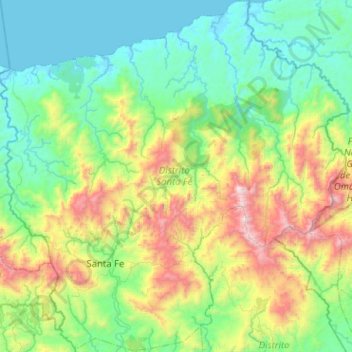
Name: Distrito de Santa Fe topographic map, elevation, terrain.
Location: Distrito de Santa Fe, Veraguas, 8047, Panama (8.38695 -81.23359 8.88803 -80.72534)
Average elevation: 1,535 ft
Minimum elevation: -7 ft
Maximum elevation: 6,198 ft
Other topographic maps
Click on a map to view its topography, its elevation and its terrain.