
Southcrest Community Park topographic map
Interactive map
Click on the map to display elevation.
About this map
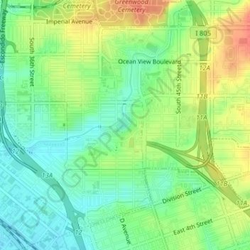
Name: Southcrest Community Park topographic map, elevation, terrain.
Average elevation: 72 ft
Minimum elevation: 3 ft
Maximum elevation: 164 ft
California trails, hiking, mountain biking, running and outdoor activities
Other topographic maps
Click on a map to view its topography, its elevation and its terrain.
North Bay Terraces
United States > California > San Diego > North Bay Terraces
Average elevation: 351 ft