
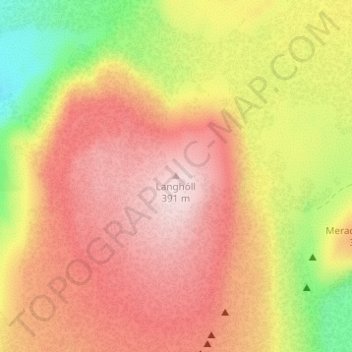
Langhóll topographic map
Interactive map
Click on the map to display elevation.
About this map
Name: Langhóll topographic map, elevation, terrain.
Location: Langhóll, Grindavíkurbær, Southern Peninsula, Iceland (63.90505 -22.27264 63.90515 -22.27254)
Average elevation: 801 ft
Minimum elevation: 157 ft
Maximum elevation: 1,253 ft
Other topographic maps
Click on a map to view its topography, its elevation and its terrain.