
Sodaville topographic map
Interactive map
Click on the map to display elevation.
About this map
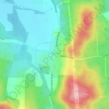
Name: Sodaville topographic map, elevation, terrain.
Location: Sodaville, Linn County, Oregon, United States (44.47785 -122.87616 44.48893 -122.86229)
Average elevation: 551 ft
Minimum elevation: 371 ft
Maximum elevation: 899 ft
Linn County trails, hiking, mountain biking, running and outdoor activities