
Faubourg Marigny topographic map
Interactive map
Click on the map to display elevation.
Faubourg Marigny
The Faubourg Marigny is located at 29°57′53″N 90°03′19″W / 29.96472°N 90.05528°W / 29.96472; -90.05528 and has an elevation of 1 foot (0.3 m). According to the United States Census Bureau, the district has a total area of 0.33 square miles (0.9 km2). 0.31 square miles (0.8 km2) of which is land and 0.02 square miles (0.1 km2) (6.06%) of which is water.
About this map
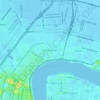
Name: Faubourg Marigny topographic map, elevation, terrain.
Average elevation: 7 ft
Minimum elevation: -13 ft
Maximum elevation: 95 ft
Louisiana trails, hiking, mountain biking, running and outdoor activities