
Covington topographic map
Interactive map
Click on the map to display elevation.
About this map
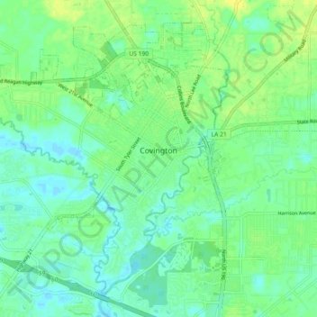
Name: Covington topographic map, elevation, terrain.
Location: Covington, St. Tammany Parish, Louisiana, United States (30.43985 -90.17145 30.50666 -90.08112)
Average elevation: 30 ft
Minimum elevation: 3 ft
Maximum elevation: 62 ft
St. Tammany Parish trails, hiking, mountain biking, running and outdoor activities
Other topographic maps
Click on a map to view its topography, its elevation and its terrain.