
Hemet topographic map
Click on the map to display elevation.
Hemet
Dedicated to James Simpson, Hemet City Council 1947–48, and mayor 1950 to 1966. Simpson Park is a wilderness park located in the Santa Rosa Hills southeast of Hemet with sheltered picnic area and tables, barbecues, restrooms, and hiking trails. At an elevation of 2,500 feet (760 m), it provides an expansive view of San Jacinto Valley, as well of nearby towns of Winchester (Menifee) and Rancho California (Temecula, California), and it has an area of 438 acres (1.8 km2).
About this map
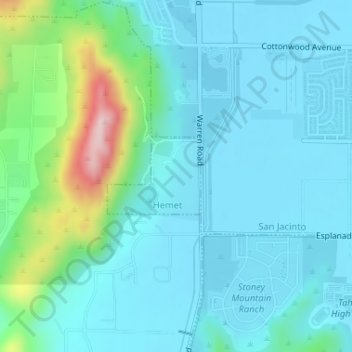
Name: Hemet topographic map, elevation, terrain.
Location: Hemet, Riverside County, California, United States (33.77444 -117.04212 33.78039 -117.03343)
Average elevation: 1,667 ft
Minimum elevation: 1,493 ft
Maximum elevation: 2,464 ft
California trails, hiking, mountain biking, running and outdoor activities