
Mount Baldy topographic map
Interactive map
Click on the map to display elevation.
About this map
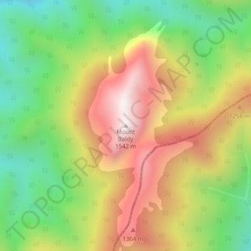
Name: Mount Baldy topographic map, elevation, terrain.
Location: Mount Baldy, Buller District, West Coast, New Zealand (-41.38044 172.55547 -41.38034 172.55557)
Average elevation: 3,474 ft
Minimum elevation: 2,169 ft
Maximum elevation: 4,974 ft