
Damariscotta topographic map
Interactive map
Click on the map to display elevation.
Damariscotta
According to the United States Census Bureau, the town has a total area of 14.71 square miles (38.10 km2), of which, 12.42 square miles (32.17 km2) of it is land and 2.29 square miles (5.93 km2) is water. Damariscotta is situated on the Damariscotta River, a tidal estuary of the Gulf of Maine. Hunt Hill, elevation 350 feet (108 m) above sea level, is the town's highest point.
About this map
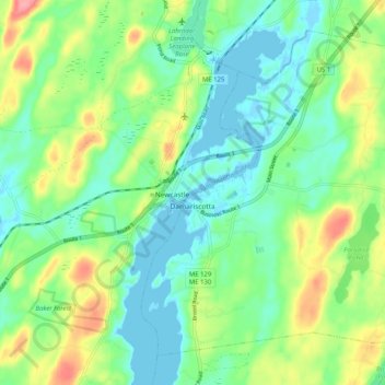
Name: Damariscotta topographic map, elevation, terrain.
Location: Damariscotta, Lincoln County, Maine, 04543, United States (44.00432 -69.54519 44.06615 -69.44345)
Average elevation: 95 ft
Minimum elevation: -13 ft
Maximum elevation: 289 ft
Lincoln County trails, hiking, mountain biking, running and outdoor activities
Other topographic maps
Click on a map to view its topography, its elevation and its terrain.
Monhegan Island
United States > Maine > Lincoln County > Monhegan Island Plantation > Monhegan
Average elevation: 16 ft
West Boothbay Harbor
United States > Maine > Lincoln County > Boothbay Harbor
Average elevation: 33 ft