
Gray Mountain topographic map
Interactive map
Click on the map to display elevation.
About this map
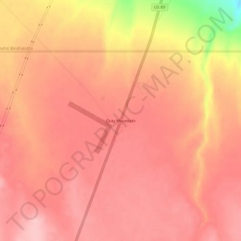
Name: Gray Mountain topographic map, elevation, terrain.
Location: Gray Mountain, Coconino County, Arizona, United States (35.72583 -111.49348 35.76583 -111.45348)
Average elevation: 4,987 ft
Minimum elevation: 4,590 ft
Maximum elevation: 5,108 ft
Coconino County trails, hiking, mountain biking, running and outdoor activities