
Van Alstyne topographic map
Interactive map
Click on the map to display elevation.
About this map
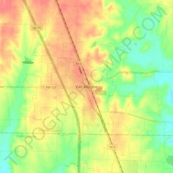
Name: Van Alstyne topographic map, elevation, terrain.
Location: Van Alstyne, Grayson County, Texas, 75495, United States (33.38203 -96.61648 33.46203 -96.53648)
Average elevation: 738 ft
Minimum elevation: 630 ft
Maximum elevation: 837 ft
Grayson County trails, hiking, mountain biking, running and outdoor activities