
Niota topographic map
Interactive map
Click on the map to display elevation.
About this map
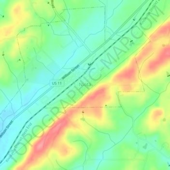
Name: Niota topographic map, elevation, terrain.
Location: Niota, McMinn County, Tennessee, United States (35.49842 -84.56946 35.52812 -84.53001)
Average elevation: 1,033 ft
Minimum elevation: 919 ft
Maximum elevation: 1,211 ft
McMinn County trails, hiking, mountain biking, running and outdoor activities