
Pine View topographic map
Interactive map
Click on the map to display elevation.
About this map
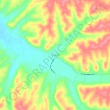
Name: Pine View topographic map, elevation, terrain.
Location: Pine View, Perry County, Tennessee, United States (35.71062 -87.95447 35.75062 -87.91447)
Average elevation: 525 ft
Minimum elevation: 374 ft
Maximum elevation: 679 ft
Perry County trails, hiking, mountain biking, running and outdoor activities