
Port Townsend topographic map
Interactive map
Click on the map to display elevation.
About this map
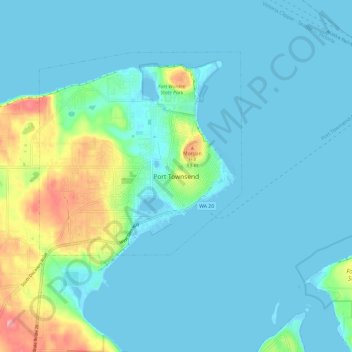
Name: Port Townsend topographic map, elevation, terrain.
Location: Port Townsend, Jefferson County, Washington, United States (48.07797 -122.80954 48.15797 -122.72954)
Average elevation: 59 ft
Minimum elevation: -23 ft
Maximum elevation: 348 ft
Jefferson County trails, hiking, mountain biking, running and outdoor activities