
Gause topographic map
Interactive map
Click on the map to display elevation.
About this map
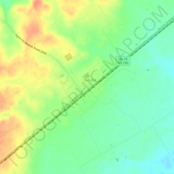
Name: Gause topographic map, elevation, terrain.
Location: Gause, Milam County, Texas, 77857, United States (30.76571 -96.74175 30.80571 -96.70175)
Average elevation: 374 ft
Minimum elevation: 305 ft
Maximum elevation: 459 ft
Milam County trails, hiking, mountain biking, running and outdoor activities
Other topographic maps
Click on a map to view its topography, its elevation and its terrain.