
Dallardsville topographic map
Interactive map
Click on the map to display elevation.
About this map
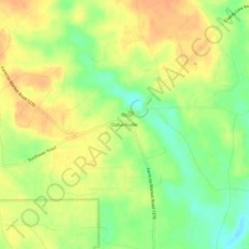
Name: Dallardsville topographic map, elevation, terrain.
Location: Dallardsville, Polk County, Texas, 77332, United States (30.60854 -94.65187 30.64854 -94.61187)
Average elevation: 249 ft
Minimum elevation: 174 ft
Maximum elevation: 302 ft
Polk County trails, hiking, mountain biking, running and outdoor activities