
Bristol topographic map
Interactive map
Click on the map to display elevation.
About this map
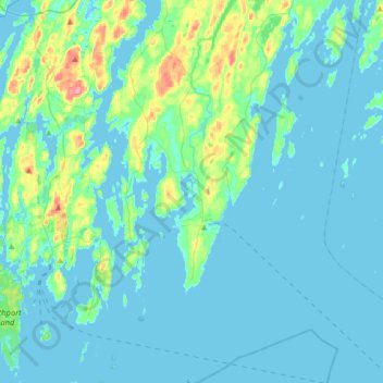
Name: Bristol topographic map, elevation, terrain.
Location: Bristol, Lincoln County, Maine, United States (43.77816 -69.54712 44.00874 -69.35277)
Average elevation: 43 ft
Minimum elevation: -7 ft
Maximum elevation: 315 ft
Lincoln County trails, hiking, mountain biking, running and outdoor activities
Other topographic maps
Click on a map to view its topography, its elevation and its terrain.